![]()
Urban Geography: Meaning, Scope, and Real-World Relevance
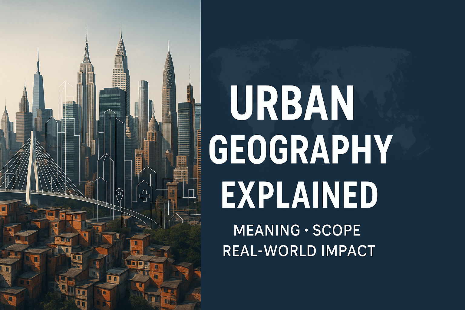
Introduction
Urban geography is the branch of human geography that explores how cities form, grow, and function in relation to
people and the environment. From busy highways and business districts to informal settlements and public parks, urban geography helps us understand the invisible forces shaping everyday city life. Whether you live in Lagos,
London, or Los Angeles, the layout of your neighbourhood, the location of your school or market, and even the quality of your air are all influenced by urban geography.
In today’s world, more than half of the global population lives in urban areas a number that continues to rise. This shift makes it more important than ever to study how cities work, why people move to certain places, and what urban planning decisions mean for the future. Urban geographers don’t just deal with maps and boundaries; they explore the social, cultural, economic, and political dynamics behind city development.
This blog post breaks down the meaning, scope, and real-world relevance of urban geography. You’ll learn how this field connects closely with human geography, and how understanding it can help us solve challenges like traffic congestion, housing shortages, environmental pollution, and access to services. Whether you’re a student, urban planner, geographer, or simply curious about how cities evolve, this guide offers a foundational view into a topic that touches everyone.
By the end, you’ll gain a deeper appreciation of the cities you live in or travel to—and why they are the way they are. Plus, we’ll explore real-world case studies and link you to even more detailed posts on urban life across regions like Nigeria and Africa.
Definition of Urban Geography in simple terms
In simple terms, Urban Geography is the study of cities—how they form, grow, function, and affect people’s lives. In simple terms, urban geography helps us understand how places like towns, cities, and urban centers are organised and how people interact within them. It looks at where cities are located, why they’re there, how they’re planned, and how they grow or decline. It also examines the relationships between humans and their urban environments—how we live, work, commute, and access resources in these built-up areas.
From my understanding, urban geography combines both physical and human geography. It pays attention to things like population density, transportation systems, housing types, economic activities, and environmental issues in city settings. It helps us answer questions like: Why do slums develop in certain areas? Why are business districts usually at the center of a city? Why do people move from rural to urban areas?
This field is especially important today, as more people around the world are living in cities than ever before. Urban geography provides the tools and knowledge we need to build smarter, more sustainable, and inclusive urban spaces. By understanding urban geography, we can better manage city challenges like traffic, pollution, overcrowding, and access to services.

Definition of Urban Geography
Urban geography is the branch of human geography that studies the spatial aspects of cities and urban processes. At its core, urban geography focuses on how cities are formed, structured, and function, including the patterns of land use, social inequality, and infrastructure development. It explores the reasons behind where people live, how they move within urban spaces, and how cities grow or decline over time. As cities continue to expand globally, understanding urban geography has become essential for planning sustainable development, managing population growth, and addressing challenges like housing shortages, traffic congestion, and environmental degradation.
According to Wikipedia, urban geography investigates “Economic geography is important to examine the economic and job flow within the urban population.” (Wikipedia). This makes it a crucial field for understanding both the physical layout of cities and the social dynamics within them.
In an age where over 56% of the world’s population now lives in urban areas, urban geography helps us analyse patterns like suburbanization, gentrification, and urban sprawl, providing insight into how cities can be more livable, inclusive, and sustainable. Whether you’re a student, city planner, or curious learner, urban geography offers valuable tools for interpreting the modern world around us.
History of Urban Geography
Urban geography has a rich and fascinating history that reflects the rapid growth of cities and the need to understand how people interact with urban spaces. From the very beginning, urban geography emerged as a subfield of human geography focused on studying cities, their structures, functions, and spatial organisation. It began to take shape in the late 19th and early 20th centuries when industrialisation and urbanisation transformed rural landscapes into bustling cities across Europe and North America. Geographers started asking important questions: Why are cities located where they are? How do economic, political, and cultural forces shape urban life?
Urban geography has a rich and fascinating history that reflects the rapid growth of cities and the need to understand how people interact with urban spaces. From the very beginning, urban geography emerged as a subfield of human geography focused on studying cities, their structures, functions, and spatial organisation. It began to take shape in the late 19th and early 20th centuries when industrialisation and urbanisation transformed rural landscapes into bustling cities across Europe and North America. Geographers started asking important questions: Why are cities located where they are? How do economic, political, and cultural forces shape urban life?
In its early years, the study of urban geography was closely tied to classical models like the concentric zone model, sector model, and multiple nuclei model. These theories helped scholars visualise how cities grow and change over time. But as cities became more complex, the field evolved. By the mid-20th century, urban geographers began to incorporate social, environmental, and economic dimensions into their work. They moved beyond just mapping physical spaces to exploring deeper issues such as segregation, housing inequality, urban planning, and transportation systems.
In recent decades, the history of urban geography has expanded even further, especially with the rise of global cities, smart cities, and urban sustainability movements. Technological advancements, climate change, and globalisation have all played major roles in shaping new urban realities, and urban geographers continue to respond by studying the patterns, trends, and challenges of modern city life.
Understanding the history of urban geography is crucial because it shows how our cities have been shaped over time and why certain issues still persist today. It also helps urban planners, researchers, and policymakers make better decisions that affect the lives of millions. The story of urban geography is ultimately the story of how we live, adapt, and build in an ever-changing world.
Theories and Models in Urban Geography
Theories and models in urban geography help us understand how cities grow, develop, and function. They provide frameworks for analysing patterns of land use, population distribution, and economic activity within urban spaces. Three of the most influential models in urban geography are the Burgess Model, Hoyt Model, and Central Place Theory, each offering unique insights into how cities are structured and how people interact with urban environments. The following are the theories and models in urban geography;
- Burgess Model: The Burgess Model, also known as the Concentric Zone Model, was proposed by sociologist Ernest Burgess in 1925. It suggests that cities develop in a series of circular zones radiating out from a central business district (CBD). Each zone represents a different type of land use or social class, from the commercial core to the outer suburbs. While this model is based on early 20th-century Chicago, it laid the foundation for understanding urban structure in many Western cities, especially during the industrial era.
- Hoyt Model: The Hoyt Model, or Sector Model, developed by economist Homer Hoyt in 1939, builds on Burgess’s work but emphasises the role of transport routes in shaping urban growth. According to this model, cities develop in wedge-shaped sectors rather than rings, with industries and housing extending outwards along key transportation corridors like railways or highways. The Hoyt Model explains how certain areas of a city become dominated by specific land uses due to accessibility, noise levels, and socioeconomic factors.
- Central Place Theory: Introduced by Walter Christaller in 1933, it focuses more on spatial economics than city shape. It explains how settlements of different sizes (villages, towns, cities) are distributed across a region to provide services to surrounding areas. Central Place Theory helps us understand the hierarchy of urban centers and why certain services appear in cities but not in smaller towns.
As urban planners, geographers, and anyone interested in how cities evolve, it is crucial for us to understand these theories. While they may not perfectly apply to every modern city, especially in developing regions, they remain foundational in the study of urban geography. They offer a starting point for analysing how urban spaces are used, shaped, and reimagined in our rapidly urbanising world.
Relationship Between Urban and Human Geography
The relationship between urban and human geography is deeply interconnected and essential for understanding how people shape cities and how cities shape people in return. At its core, urban geography is a subfield of human geography, focusing specifically on the spatial aspects of cities, towns, and urban processes. Human geography, on the other hand, is broader and studies how humans interact with their environment, including culture, economy, politics, migration, and social structures. By exploring the connection between urban and human geography, we gain insights into how cities function as living ecosystems influenced by human behaviour, and how people, in turn, adapt to urban life.
One of the key ways human geography influences urban geography is through the movement and behaviour of people. Migration patterns, population growth, and cultural diffusion are all human-driven processes that determine where cities develop and how they expand. For instance, an influx of migrants to an urban area can lead to the development of new neighbourhoods, transportation systems, and social services, all of which are urban geography concerns rooted in human activity.
On the flip side, urban geography helps human geographers understand how the built environment affects societal patterns. The design of a city can influence everything from access to education and healthcare to social mobility and economic opportunity. A poorly planned city may lead to inequality, segregation, and environmental stress, while a well-designed urban space can foster innovation, inclusivity, and sustainability.
Furthermore, both disciplines overlap when analysing urban problems such as housing shortages, traffic congestion, pollution, and access to public services. Solutions to these challenges require both human geographic insight (understanding social dynamics, culture, and economic behaviour) and urban geographic strategies (planning, zoning, and infrastructure development).
In essence, the relationship between urban and human geography is not just academic; it is practical and relevant to real-world challenges. It provides the foundation for better city planning, policy-making, and sustainable development. Understanding this relationship empowers us to create more equitable, livable, and resilient urban environments in an increasingly urbanised world.
Why Urban Geography Matters Today
In today’s rapidly changing world, understanding urban geography has never been more important. With over half of the global population now living in cities, the dynamics of urban life are shaping everything from environmental sustainability to social equity and economic opportunity.
Urban geography examines how cities grow, function, and impact the people who live in them. It helps us answer essential questions like: Why do some areas thrive while others struggle? How do transportation systems, housing patterns, and land use decisions affect our daily lives? These aren’t abstract concerns—they are real issues affecting billions of people around the world.
Urban geography matters because cities are more than just clusters of buildings; they are living systems influenced by history, politics, culture, and human behaviour. By studying urban geography, we can uncover the root causes of urban challenges such as traffic congestion, gentrification, pollution, and housing crises. We can also explore solutions—like smarter public transit systems, sustainable zoning policies, and inclusive urban design. In this way, urban geography plays a vital role in shaping more resilient and equitable communities.
Moreover, in an era of climate change, migration, and digital transformation, urban geography offers critical insights into how cities can adapt and stay future-ready. From megacities in Asia to growing urban centers in Africa and Latin America, the principles of urban geography help us understand global patterns and apply local solutions.
My personal experience with urban geography began in my second year at the university during a practical course titled Urban Habitat Studies. We conducted a field study across the Calabar Metropolis, exploring both Calabar South and Calabar Municipal. Our goal was to examine the factors influencing settlement patterns in urban areas. Through this hands-on experience, I gained practical insights into how geography, infrastructure, history, and socio-economic forces shape the structure and growth of cities. This foundational experience deepened my understanding of urban development and reinforced my belief in the importance of geography in solving real-world urban challenges.
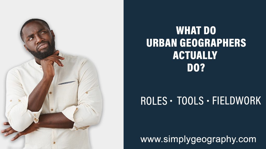
What Do Urban Geographers Actually Do?
To truly understand what urban geographers do, we must break it down into Roles, tools, and fieldwork.
- Roles: Urban geographers play a crucial role in understanding how cities work, grow, and change. Using a mix of analytical tools, fieldwork, and spatial data, they study everything from land use and transportation systems to housing patterns, migration trends, and social inequality. At the core of their work is a desire to understand how urban environments affect people and how people shape those environments in return.
- Tools: Urban geographers often work in collaboration with government agencies, city planners, real estate developers, and environmental organisations. One of their main roles is to gather and interpret spatial data. This includes using Geographic Information Systems (GIS), satellite imagery, and mapping tools to visualise urban growth, infrastructure distribution, or population density. They might analyse why traffic congestion is worse in one part of a city or study how green spaces are distributed across neighbourhoods.
- Fieldwork: Fieldwork is another essential part of the job. Urban geographers don’t just sit behind computers, they spend time in the streets, communities, and neighbourhoods they study. They observe patterns of human activity, conduct surveys and interviews, and sometimes even participate in local initiatives. This on-the-ground research helps add context to the data and gives them a fuller understanding of the human experience within urban spaces.
Beyond observation, urban geographers also make policy recommendations. They provide valuable insights into urban planning, zoning laws, housing policies, and transportation networks. Their findings often influence how cities address challenges like overcrowding, pollution, inequality, and access to services.
In today’s data-driven world, urban geographers are increasingly relying on digital tools like remote sensing, big data analytics, and even AI to model future urban scenarios. For example, they might simulate the impact of rising sea levels on coastal cities or predict how new public transportation routes could change commuting behaviours.
Ultimately, what urban geographers do is vital to creating smarter, more sustainable, and more inclusive cities. Their work ensures that the urban future is not only efficient and technologically advanced but also human-centered and equitable.
Real-World Case Studies of Urban Geography
Real-world case studies offer powerful insights into how urban and human geography intersect in everyday life. While theories and models provide a framework, it is through practical, lived experiences that we truly understand the dynamic relationship between people and urban spaces. From the housing challenges in rapidly growing cities to the uneven distribution of infrastructure, these examples allow us to explore geography through a human lens.
In my second year at the university, I participated in a practical assignment that examined the rising population of Calabar Metropolis in southeastern Nigeria. Our research revealed that a significant number of residents were students, a surprising and impactful finding. This student-driven population trend had a clear effect on the housing sector, resulting in both high demand and a spike in substandard accommodations.
Landlords converted living spaces to accommodate more tenants, and the cost of housing surged in response. Interestingly, we also observed that during semester breaks or long holidays, the city became noticeably empty, exposing how academic calendars influence urban density and local economies.
Experiences like these make it clear that urban geography isn’t just about buildings and maps, it’s about the people who live, move, and make decisions within those spaces. Similar dynamics can be seen around the world: from Nairobi’s informal settlements like Kibera, to student-dominated cities like Boston, and sustainable urban models like Curitiba in Brazil. Each setting reveals how human activity, planning, and migration patterns shape the form and function of urban spaces.
Whether you’re a student, educator, planner, or just curious about how cities work, analysing real-world cases provides a deeper understanding and real applications of urban and human geography principles. These stories highlight both the challenges and innovations emerging across different continents.
Explore how Urban Geography plays out in Nigeria and Africa in our dedicated article → Urban Geography in Nigeria
Urban Geography’s Role in Addressing Urban Challenges
Urban geography plays a crucial role in understanding and solving the growing challenges cities face around the world. As more people migrate to urban areas in search of better opportunities, issues such as traffic congestion, housing shortages, waste management, and social inequality continue to rise. Urban geography helps us examine the spatial patterns and processes that shape cities, such as land use, transportation systems, infrastructure, and population distribution and provides valuable insights that guide urban planning and policy decisions.
By studying urban geography, planners and researchers can identify where problems exist and why they persist. For example, if a city is struggling with slum development, urban geographers can analyse how factors like population density, migration trends, and income disparities contribute to the issue. This kind of spatial analysis helps city leaders create better zoning regulations, affordable housing projects, and inclusive development strategies. Moreover, urban geography is instrumental in tackling environmental challenges in cities, such as air pollution, urban heat islands, and a lack of green spaces. With accurate geographic data and mapping tools, urban geographers can design more sustainable cities that prioritise both people and the planet.
Urban geography not only provides technical tools but also emphasises equity, inclusivity, and sustainability in city growth. As cities become more complex and densely populated, this field becomes even more critical in designing livable, efficient, and resilient urban spaces. Whether you’re a student, policymaker, or citizen, understanding urban geography helps you see the city not just as a place, but as a living system shaped by human needs and interactions.
Conclusion
In conclusion, urban geography is more than just a branch of geography—it’s a lens through which we understand how cities grow, function, and impact the lives of billions. From the shape of skylines to the struggle with slums, from transportation systems to green spaces, urban geography helps us make sense of modern life. With more than half the world’s population now living in urban areas, this subject is not only timely but essential. The deeper we understand how cities evolve and operate, the better we can design policies, solutions, and spaces that work for everyone.
As we’ve explored throughout this article, urban geography connects deeply with human geography, tackles present-day challenges, and offers real-world insights into planning, development, and sustainable living. From historical foundations to cutting-edge innovations in smart city design, urban geography allows us to critically examine the past while shaping the future.
Whether you’re a student trying to grasp the basics, a policymaker searching for context, or just someone curious about the invisible forces shaping your city, urban geography offers the tools to see the world in a new light. The hope is that this article has sparked that curiosity in you.
Now that you have read through this article. Feel free to test your knowledge of urban geography with our urban geography quiz.
Further Reading & References
- United Nations – Urbanisation Trends & Sustainable Cities –https://www.un.org/sustainabledevelopment/cities
- Wikipedia – Urban Geography – https://en.wikipedia.org/wiki/Urban_geography
- Tamralipta Mahavidyalaya – Definition, nature and scope of urban geography –
https://tinyurl.com/Definition-of-urban-geography

Idara Eniang is a passionate digital creator and geographer dedicated to making geography simple, visual, and accessible.


