![]()
Colombia Shapefiles – Free Download for GIS Mapping & Research

Colombia shapefiles are now available for free download to support GIS mapping, research, and academic projects. Whether you are analysing population distribution, infrastructure, or creating custom maps of Colombia’s diverse regions, this dataset provides the essential layers—cleaned, clipped, and ready to use in QGIS, ArcGIS, Google Earth Pro, and Mapbox.
What’s Included in the Colombia Shapefile Package?
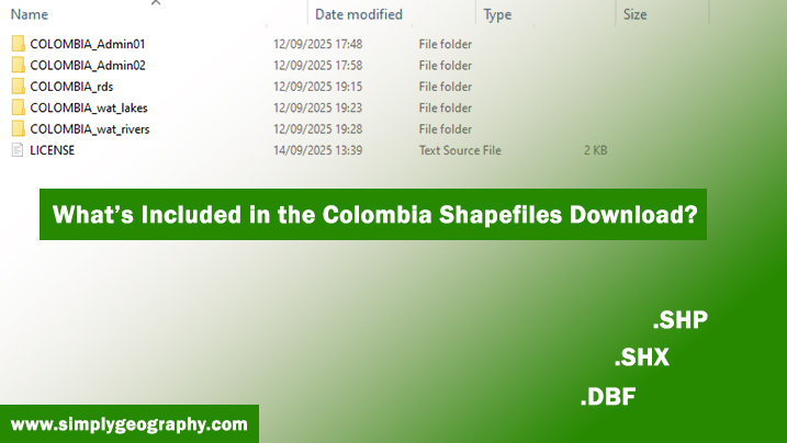
Each dataset is delivered in ESRI Shapefile (.shp) format, compressed into convenient ZIP folders. The package includes:
-
Administrative Boundaries (ADM0 & ADM1): National boundary of Colombia (ADM0) and detailed internal divisions such as departments (ADM1). Data sourced from GADM and OpenStreetMap.
-
Road Network: Major highways, secondary roads, and transport infrastructure derived from OpenStreetMap.
-
Water Bodies: Rivers, lakes, and coastal outlines sourced from Natural Earth.
👉 For municipal and district-level boundaries (ADM2/ADM3), please download directly from GADM Colombia.
Coordinate Reference System (CRS) Information
All Colombia shapefiles use the WGS 84 (EPSG:4326) coordinate system.
This global standard ensures compatibility with:
-
QGIS
-
ArcGIS
-
Google Earth Pro
-
Mapbox
The files can be imported, visualised, and analysed without CRS errors. If you need a custom projection (e.g., UTM), you can easily reproject them in your GIS software.
Download Colombia Shapefiles
Format: Shapefiles in ZIP
Size: ~757 Kb
Updated: September 2025
👉 Download Colombia Shapefiles Here
Population Spatial Data for Colombia
If you need population data to complement these shapefiles, we recommend WorldPop Colombia.
These gridded datasets (GeoTIFF format) provide high-resolution population estimates ideal for:
Demographic mapping
Urban and rural planning
Public health research
Spatial analysis
👉 Access here: WorldPop Colombia
Learn How to Use Shapefiles
Are you new to GIS, or do you need to refresh your memory on how to use shapefiles? Follow our beginner-friendly tutorials:
These guides cover importing shapefiles, setting coordinate systems, styling, and performing basic spatial analysis.
Looking for More Shapefiles?
Our growing archive includes shapefiles for countries worldwide, featuring administrative boundaries, transportation, and environmental layers.
👉 Browse the full shapefile archive here.
If you don’t find what you need, leave a comment or contact us—we’re always adding more datasets.
Licensing & Attribution
-
OpenStreetMap (Roads): ODbL 1.0
-
Natural Earth (Water, boundaries): Public Domain
-
GADM (ADM boundaries): License
-
WorldPop (Population): CC BY 4.0
All shapefiles are redistributed under their original source licenses. Please cite appropriately in your work.

Idara Eniang is a passionate digital creator and geographer dedicated to making geography simple, visual, and accessible.


